From Bus Routes to Flooded Streets, This Man Has Been Making Free Maps for Citizens for Over 10 Years
From helping design TIFR's digital literacy programme to creating India’s first public transport map, Arun Ganesh has been working for over 10 years to make maps useful and accessible for the common man.
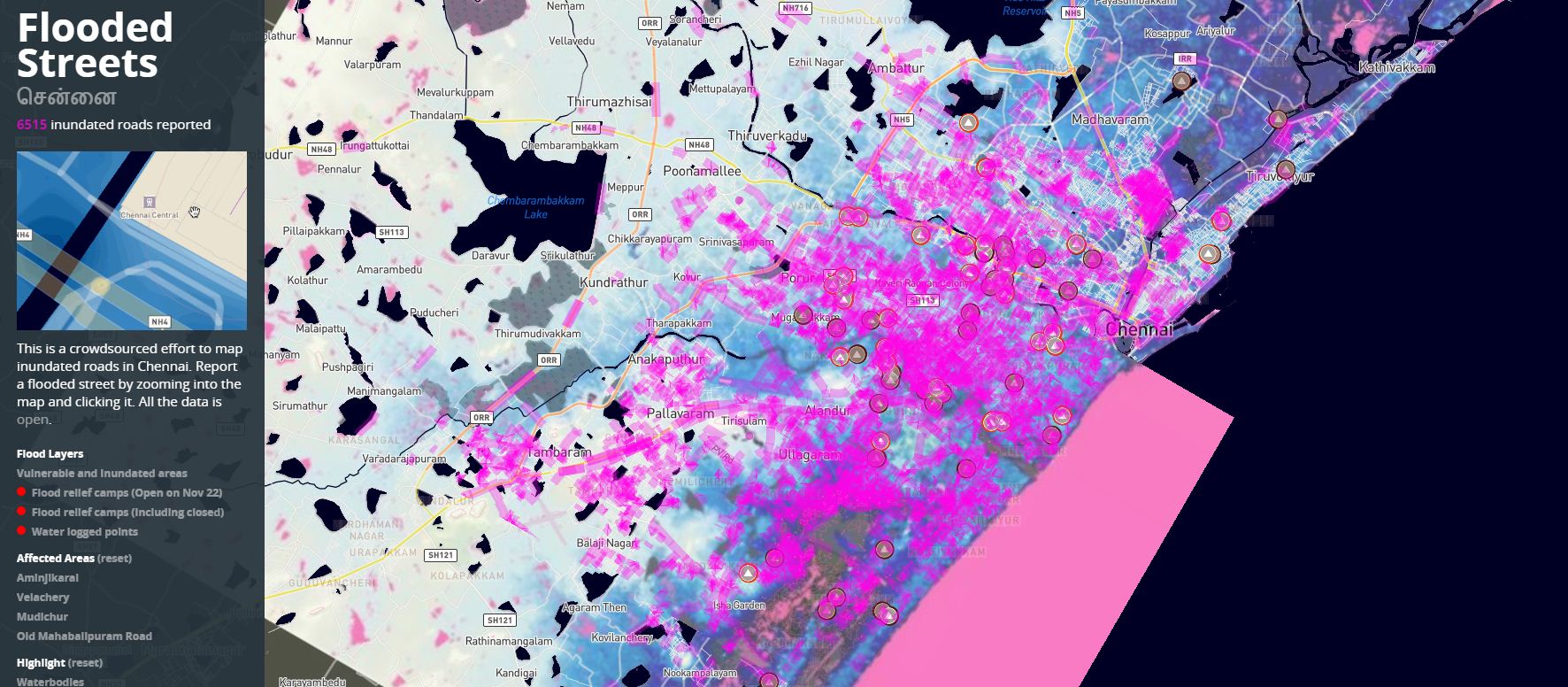
In November 2015, as torrential rains started causing floods in the city of Chennai, a community-driven app began getting heavy traffic, before going viral on social media. Called Chennai Flood Map, the app had a unique interactive map of Chennai that allowed any citizen to mark a street as flooded.
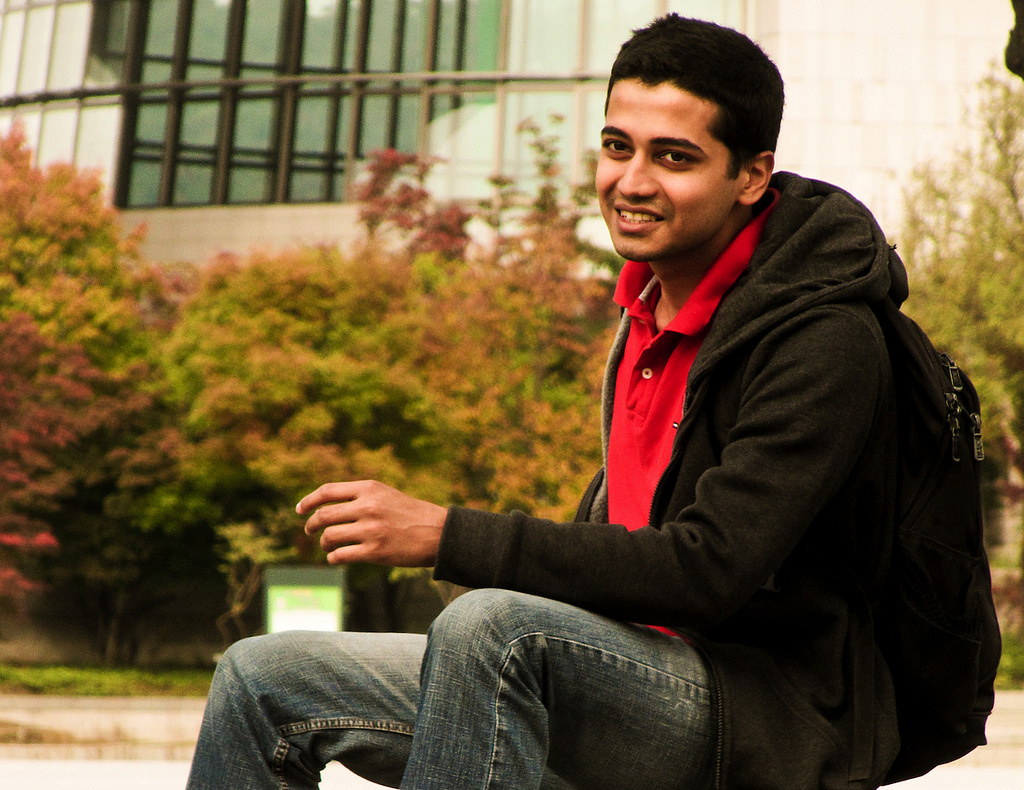
By pooling together the knowledge from several citizens, the app was able to piece together the status of flooding across the city of Chennai in real time and provide the information to its users. The cartographer for this app was a talented 27-year-old map analyst, Arun Ganesh.
An accomplished contributor to OpenStreetMap, Arun is popularly known by the moniker ‘Map Man of India’. From helping Tata Institute of Social Sciences design the geography section of its digital literacy program to creating India’s first map for public transport, Arun has been working for over a decade to make maps useful and accessible for the common man.
Arun was born in Dubai, where his father worked as a mechanical engineer in the oil industry. A quiet child who preferred spending time with his books and computer, Arun spent his formative years flipping through his elder sister’s world atlas, learning about interesting places, tracing the outlines of countries, exploring the topography between mountains, forests, rivers and cities.
Unsurprisingly, Arun developed a love for cartography and a curiosity about all kinds of maps at an early age. His favourite hobby was creating detailed plans of imaginary cities on the backside of discarded drafting sheets from his father’s office. Arun was also fascinated by planes and aviation. He loved flying, especially the bird’s eye view of land and sense of freedom that being high above ground gave him.
He was still in school when he began devoting his free time to learning the software required to create these 3D models.
He also learnt Photoshop to give accurate texture to the topography. Having done this, he began creating add-ons and animations for flight simulator games before releasing them online.
By the time he reached class 10, Arun was already a very popular member of the global Flight Simulator Community for his beautiful aerial photos from planes. He was nicknamed ‘plane mad’ by users of the forum and Arun soon made it his username.
Thanks to his love for maps and planes, Arun wanted to become an air traffic controller. After passing out from high school, he decided to pursue electronics and communications engineering from Anna University in Chennai. During his college days, he spent most of his free time fine-tuning his cartographic skills and contributing to OpenStreetMap projects. For the uninitiated, OSM is a collaborative volunteer project to create crowd-sourced editable maps of the world that can be freely used and shared by anybody under an open license.
Realising how difficult it was to travel in Chennao without information about the bus stops and routes, Arun decided to document all the bus stops and routes in the city for his first civic project – the Chennai Bus Route Mapping Project.
While speaking at blogger’s meet and BarCamps, Arun met two people who helped him build a prototype website. that would display his maps and allow the user to find out the routes associated with it. After a group of Mumbaikars got in touch with Arun, he also designed the ChaloBEST mapping project for Mumbai’s BEST (Brihanmumbai Electric Supply & Transport) buses routes and stops.
Next, inspired by London’s metro map, he designed a local train map for Chennai and uploaded the map on Chennai’s Wikipedia page. Within a day, it garnered much appreciation from Wikipedia users along with requests to make similar maps for other cities too.
The talented cartographer obliged by taking up the task of making similar maps for other cities as well as the road map of India and uploading them on Wikipedia. Made using Scalable Vector Graphics (SVG), Arun’s maps were of a very high quality and soon, they were present on practically every India-related page on Wikipedia.
At one point of time, over 30,000 articles related to India on Wikipedia were using maps made by Arun!
By this time, his passion for mapping projects had overtaken his childhood dream of becoming an Air Traffic Controller. Thanks to his exemplary cartography, Arun began receiving job offers from big companies like Google but he decided to stick to working on open source mapping projects that would help the common man.
On the suggestion of scollege senior, Arun chose to pursue a course in design at the National Institute of Design (NID) in Bengaluru after graduation.
Arun Ganesh at a Cartography Workshop at NID
In 2011, at the Wikipedia hackathon in Mumbai, Arun met the chief designer of the Wikimedia Foundation. While discussing the design challenge that made it tough for users to change the language on Wikipedia, Arun suggested a solution – use maps to allow people to select their location and pick from among the languages spoken there.
The chief designer loved the idea and invited Arun to join the team for the Universal Language Selector project. Arun spent several months working on the project that helped make Wikipedia accessible in every language.
Arun has also worked on the Indian government’s project to increase digital literacy in the country. Joining Tata Institute of Fundamental research (TIFR) as a consultant, Arun designed courses and pilot programmes on computer literacy that taught students how to conduct research on the net, how to create OSM maps and how to use as well as write for Wikipedia.
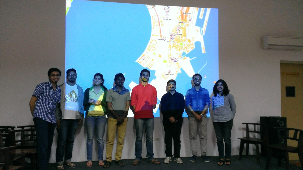
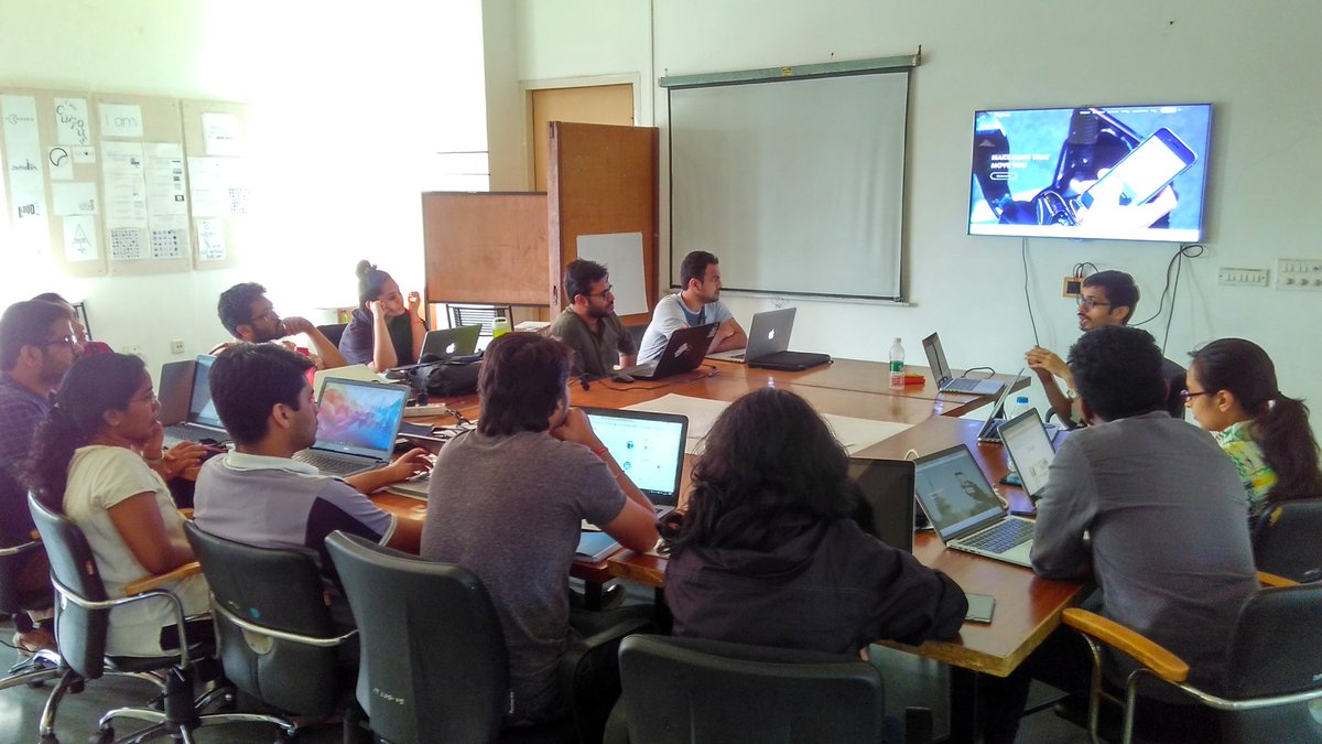
Presently, Arun is working with Mapbox India (a Bengaluru-based startup that creates interfaces for maps, geocoding, driving directions, and more) to build a team of expert mappers that works towards improving OpenStreetMap and other vital mapping datasets.
A cartography workshop at Mapbox India
“Over the years, if there’s anything that mapping has taught me, then it’s the fact that the whole world is interconnected. Maps can show us the big picture of these interconnections, which is what makes them powerful cognitive tools to solve problems that exist today as well as those in the future,” concludes the map-crazy youngster who dreams of using maps to empower citizens in an interview to YourStory.
Also Read: Underprivileged Orphan Girls in India Are Learning Robotics, Thanks to This Unique STEM Initiative
Like this story? Or have something to share? Write to us: [email protected], or connect with us on Facebook and Twitter.
NEW: Click here to get positive news on WhatsApp!
If you found our stories insightful, informative, or even just enjoyable, we invite you to consider making a voluntary payment to support the work we do at The Better India. Your contribution helps us continue producing quality content that educates, inspires, and drives positive change.
Choose one of the payment options below for your contribution-
By paying for the stories you value, you directly contribute to sustaining our efforts focused on making a difference in the world. Together, let’s ensure that impactful stories continue to be told and shared, enriching lives and communities alike.
Thank you for your support. Here are some frequently asked questions you might find helpful to know why you are contributing?
This story made me
-
 97
97 -
 121
121 -
 89
89 -
 167
167


