
ISRO Announces Free Online Course for Students & Researchers Alike; Apply Here
The Indian Space Research Organisation (ISRO) is inviting applications from students, researchers and professionals for a free online course on Geospatial Technology for monitoring hydro-meteorological hazards. Details here
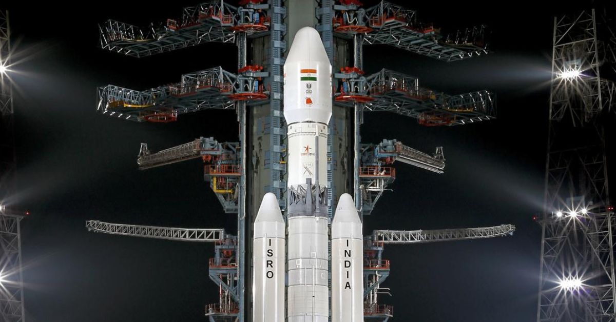
The Indian Space Research Organisation (ISRO) is inviting applications for an online free course titled — Advances in monitoring and modelling of hydro-meteorological hazards using geospatial technology and process-based models.

It will be conducted by the Indian Institute of Remote Sensing (IIRS) — a unit of ISRO and a premier institute for capacity building and research in the field of remote sensing and geoinformatics. If you found our stories insightful, informative, or even just enjoyable, we invite you to consider making a voluntary payment to support the work we do at The Better India. Your contribution helps us continue producing quality content that educates, inspires, and drives positive change. Choose one of the payment options below for your contribution- By paying for the stories you value, you directly contribute to sustaining our efforts focused on making a difference in the world. Together, let’s ensure that impactful stories continue to be told and shared, enriching lives and communities alike. Thank you for your support. Here are some frequently asked questions you might find helpful to know why you are contributing?
Things to know:
- The duration of the online course is one week, and it will be conducted from 5 to 9 December 2022.
- The course is open to professionals working in hydrometeorological hazards-linked regional or national projects.
- The course is also open to students and researchers involved in hydrometeorological hazards studies.
- The course offers an overview of advanced earth observation data and modelling approaches for monitoring and quantitative assessment of hydrometeorological hazards.
- It will cover the following topics:
– Overview of earth observation data and geospatial techniques.
– Hydrological and hydrodynamic modelling and its application in hydrometeorological hazards assessment.
– Drought monitoring and assessment using remote sensing data.
– Snow and glacier mapping and avalanche vulnerability assessment. - The course aims at spreading awareness about the importance of remote sensing data and process-based modelling in the assessment of hydrometeorological hazards such as floods, GLOFs, droughts, and avalanches.
- Participants can attend the course live through the IIRS e-class portal or the institute’s official YouTube channel.
How to apply:
- Those interested can register through the official website.
- Registration is now open.
For more information, read the official notification.
Edited by Pranita Bhat
This story made me
-
 97
97 -
 121
121 -
 89
89 -
 167
167


