
ISRO Launches Free Online Course on Remote Sensing to Help Students Learn New Tech
This free online course by the Indian Institute of Remote Sensing (IIRS), sponsored by ISRO, is for students interested in learning about remote sensing technologies and their various applications. Read on to know eligibility criteria and course details.
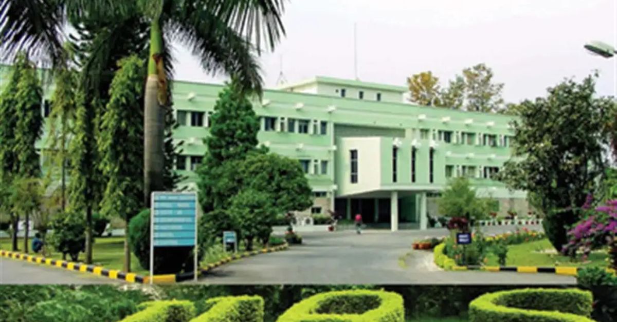
The Indian Institute of Remote Sensing (IIRS), an institute under ISRO, is offering a free training programme in remote sensing technologies. If you found our stories insightful, informative, or even just enjoyable, we invite you to consider making a voluntary payment to support the work we do at The Better India. Your contribution helps us continue producing quality content that educates, inspires, and drives positive change. Choose one of the payment options below for your contribution- By paying for the stories you value, you directly contribute to sustaining our efforts focused on making a difference in the world. Together, let’s ensure that impactful stories continue to be told and shared, enriching lives and communities alike. Thank you for your support. Here are some frequently asked questions you might find helpful to know why you are contributing?
The course aims to help students understand the nuances of remote sensing technology and its applications in geological analysis and exploration.
Things to know
- Science post-graduates specialising in earth sciences or related fields; BTech graduates in civil engineering, geoscience, or mining engineering; and scientific staff, faculty and researchers of Central/State Government universities and institutions may apply.
- The course will deal with multifaceted applications of remote sensing in geological sciences — including mapping, monitoring, and characterisation of natural resources.
- Applicants must have knowledge of the basics of remote sensing and GIS (geographic information system).
- Course study materials like lecture slides, video recorded lectures, open-source software, and handouts of demonstrations, will be uploaded on the e-class portal.
- Completion/participation certificates will be awarded to students who attend 70% of the sessions of the course.
- The classes will be conducted over five days from 11 to 15 March, 2024.
- No course fees will be charged for attending the programme.
- The course will cover the following topics — an overview of RS and GIS applications in geosciences, glacial dynamics, cryospheric studies, geo-environmental applications, mineral targeting and exploration, landslide initiation process mapping and modelling, integrated approach involving GNSS, geodesy and geophysics in geosciences, and planetary exploration with special emphasis on ISRO missions using advanced remote sensing techniques.
How to apply?
- Participants may register for the course through the official website.
For more information, read the official notification.
This story made me
-
 97
97 -
 121
121 -
 89
89 -
 167
167


