
NASA, ISRO to Jointly Launch a Satellite That Will Help Monitor Climate Change & Study Earthquakes
Indian Space Research Organisation and US space agency NASA will jointly launch a satellite to monitor climate change and deformations in the Earth's crust. Named NASA-ISRO Synthetic Aperture Radar, or NISAR, the satellite will help study earthquakes and their patterns
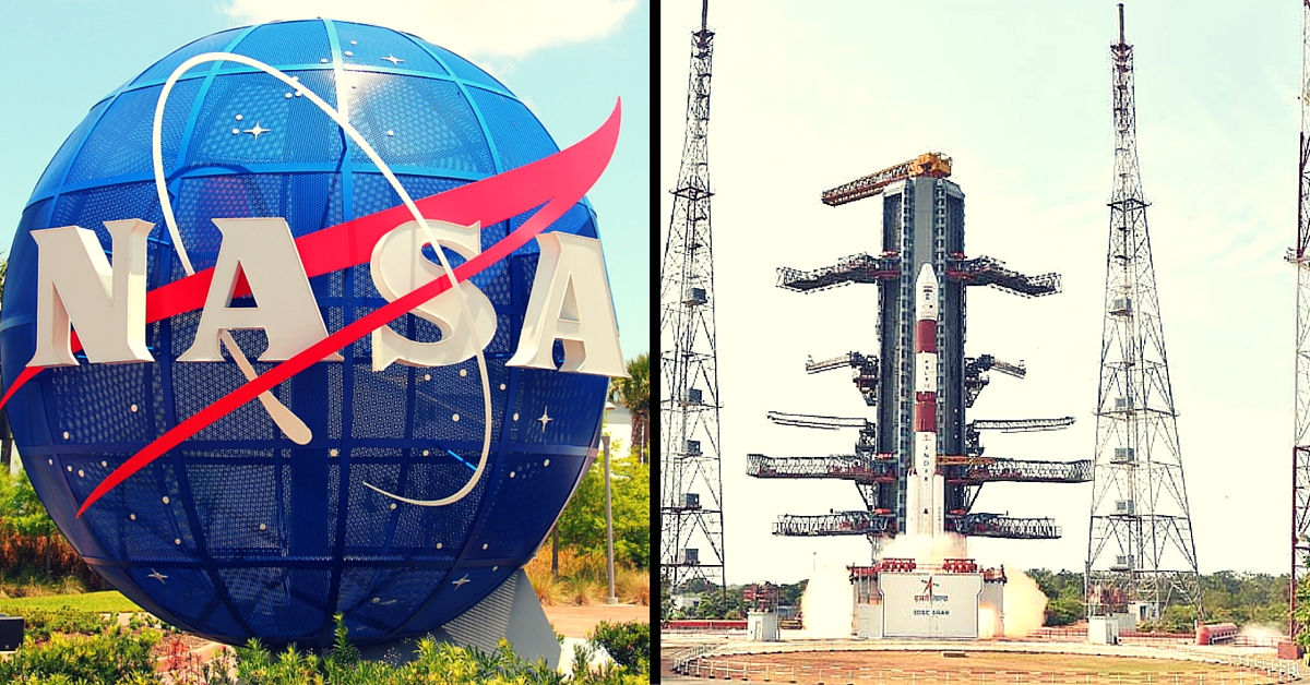
Indian Space Research Organisation (ISRO) and US space agency, NASA will jointly launch a satellite to monitor climate change and deformations in the Earth’s crust. Named NASA-ISRO Synthetic Aperture Radar, or NISAR, the satellite will help study earthquakes and their patterns.
It will observe and take measurements of ecosystem disturbances, ice-sheet collapse, and other natural hazards like tsunamis, volcanoes and landslides.


Source: Francisco Schmidt/Flickr
“The US is providing L-Band. It will help us look at crustal deformation. We are looking for hints at earthquake detection. We cannot predict earthquake but we can advise people where it has occurred. We are hoping to launch it by 2020-21,” said NASA Administrator Charles Frank Bolden.
According to ISRO Chairman AS Kiran Kumar, this is the first time that the two agencies are working together on such a large scale.
The project will help in understanding seismic activity and will also give inputs for monitoring agricultural activities in India.
Source: Mike Licht/Flickr
“The activity involves building a payload with L- and S- bands synthetic aperture radar. It’s a new technology instrument. While NASA provides the L-Band component of the electronics plus the antenna, which is a huge one. ISRO will provide the S-Band and the payload will be integrated at NASA and then the payload comes back at Bangalore. It gets integrated on the satellite, which is being built and will be launched by ISRO,” he said.
Both nations and cleared the basic mission. The two agencies have formed work groups and they will meet periodically. The satellite will help measure the variations in surface topography accurately. It will give primary data of surface deformation and frequency of measurement will be very different from how it is done now.
Like this story? Or have something to share? Write to us: [email protected], or connect with us on Facebook and Twitter (@thebetterindia).
This story made me
 97
97 121
121 89
89 167
167
Tell Us More

We bring stories straight from the heart of India, to inspire millions and create a wave of impact. Our positive movement is growing bigger everyday, and we would love for you to join it.
Please contribute whatever you can, every little penny helps our team in bringing you more stories that support dreams and spread hope.