You Can Complete This Free Certificate Course by ISRO in 11 Days. Get Details
ISRO is offering a free online certificate course on Geo-processing using Python to students and professionals through its centre IIRS.

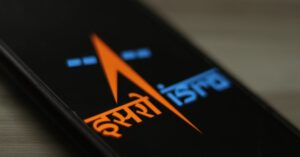
The Indian Space Research Organisation (ISRO) is inviting applications from students, researchers and professionals for a free online certificate course on Geo-processing using Python.
Things to know
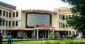
- This course will be conducted by the Indian Institute of Remote Sensing.
- Upon successful completion of the course, participants will be awarded a certificate from ISRO.
- The course is scheduled to be conducted online from 18 to 29 January 2021 for a duration of 11 days.
- Participants are required to have a good internet connection and a working device to be able to participate in the course.
- The course aims to equip participants with the knowledge to read and understand information that one derives through satellite imagery.
- Upon completion of the course, participants will be able to write a program in Python and also read, write and process different raster formats, vector formats, visualise geospatial data in form of maps, images, and so on.
- There is no course fee for attending this programme.
- There are limited seats for this programme and registrations will be on a first-come-first-serve basis only.
- All the course study material like lecture slides, video recorded lectures, open source software and handouts of demonstrations, etc. will be made available through online classes.
- Video lectures will also be uploaded on the ‘e-class’, accessible on this link.
What will you learn?

- Overview of GIS and different geospatial data types
- Overview of Python programming using
- Introduction anaconda and Jupyter notebook
- Raster data processing, resampling and analysis
- Vector data processing and analysis
- Geo-spatial data visualisation on the web
- Familiarisation to various open source geospatial data processing libraries
Eligibility criteria
While the programme is open to all, it would be most beneficial for the following candidates:

- Final year undergraduate or postgraduate students
- Technical or scientific staff of Central or State government
- Faculty or researchers from university or institutions
To apply for this programme, click here. To access the official brochure for this programme, click here.
For any further queries that you might have, you can reach out to Course Coordinator, Ravi Bhandari at 0135-2524108 or e-mail him at [email protected].
(Edited by Yoshita Rao)
This story made me
 97
97 121
121 89
89 167
167
Tell Us More
We bring stories straight from the heart of India, to inspire millions and create a wave of impact. Our positive movement is growing bigger everyday, and we would love for you to join it.
Please contribute whatever you can, every little penny helps our team in bringing you more stories that support dreams and spread hope.