
ISRO Offers Free Certificate Course You Can Do in 24 Hours: How to Apply
Indian Institute of Remote Sensing (IIRS) under The Indian Space Research Organisation (ISRO) has invited applications for a free online course on geospatial applications for disaster risk management.
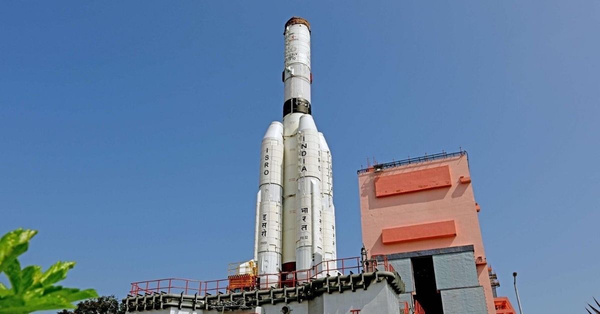
Indian Institute of Remote Sensing (IIRS), under The Indian Space Research Organisation (ISRO), has invited applications for a Massive Open Online Course (MOOC) on Geospatial Applications for Disaster Risk Management.
This is being organized by the United Nations Office for Outer Space Affairs (UNOOSA), Vienna and Centre for Space Science and Technology Education in Asia and the Pacific (CSSTEAP). It aims to strengthen efforts of disaster management by professionals.
Who can apply?
According to the official notification, this course is free, flexible and available to everyone who wants to enhance their capabilities related to the use of geospatial and Earth observation technologies in disaster risk management.
This course is free of cost and can be taken by government officials, professionals, educators, university students and other stakeholders working in the field of disaster management.
What does it cover?
The course will be conducted in two Tracks or modules.
Track 1 will cover the overview of disaster risk management (DRM) and the relevance of geospatial technologies, and earth observation and disaster management. Participants who complete Track 1 can undertake Track 2. If someone drops out after Track 1 they will be given a certificate for completing the basic module.
Track 2 will cover Earth observation and geospatial intelligence for disaster management, EO system and Hydrometeorological disasters, EO system and geological disasters, and EO system and environmental disasters.
Upon completion of Track 2 candidates will receive a certificate for the entire open online course.
Both tracks are of 12 hours each and can be taken any time during the duration of the course.
How to apply?
Step 1: Visit the IIRS website and register yourself by entering the necessary information on this link.
Step 2: Once you have registered, select the Geospatial Applications for Disaster Risk Management and apply.
The registration opened on October 13 and the last to apply has not been mentioned.
To know more you can visit the official website or read through the official notification.
(Edited by Vinayak Hegde)

If you found our stories insightful, informative, or even just enjoyable, we invite you to consider making a voluntary payment to support the work we do at The Better India. Your contribution helps us continue producing quality content that educates, inspires, and drives positive change.
Choose one of the payment options below for your contribution-
By paying for the stories you value, you directly contribute to sustaining our efforts focused on making a difference in the world. Together, let's ensure that impactful stories continue to be told and shared, enriching lives and communities alike.
Thank you for your support. Here are some frequently asked questions you might find helpful to know why you are contributing?

This story made me
-
 97
97 -
 121
121 -
 89
89 -
 167
167