ISRO Offers 3 New Online Courses with Certificates For Free: How to Apply
Geographical Information System, Geocomputation, and Geoweb services, and Remote Sensing and GIS Applications are the three courses ISRO is offering.
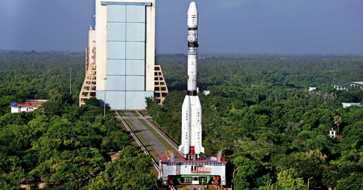
The Indian Space Research Organisation (ISRO) is inviting applications for three new free online courses that have been launched.
Geographical Information System, Geocomputation, and Geoweb services, and Remote Sensing and GIS Applications are the three courses being offered.

Things to know
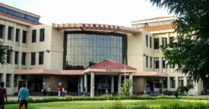
- Conducted by the Indian Institute of Remote Sensing (IIRS), these online courses are free of any charge.
- Undergraduate and postgraduate students studying in any year can take the courses.
- It is also open to the technical or scientific staff of Central or State government, and also to faculty and researchers working at Universities or institutions.
- The course duration varies from seven to twelve days each.
- At the end of the successful completion of the course, students will be awarded a certificate.
Geographical Information System
- The course begins on 28 September
- The course ends on 15 October 2020
- The course duration is for four weeks
- Students will be introduced to geographic phenomena, concepts and examples, data inputting and editing in GIS, spatial analysis – introductory concepts and overview, and so on.
- To fill the registration form for this online course, click here.
Basics of Geocomputation and Geoweb Services
- The course begins on 19 October 2020
- The course ends on 29 October 2020
- The course duration is for two weeks
- Students will be introduced to Geocomputation – technology and applications, introduction to online GIS and geo-web services, open geodata repositories and ISRO geoweb services for thematic applications, programming concepts for geo-computation, introduction to Python and R, and so on.
- To fill the registration form for this online course, click here.
Remote Sensing and GIS Applications
- The course begins on 2 November 2020
- The course ends on 20 November 2020
- The course duration is for four weeks
- Students will be introduced to the applications of remote sensing and other geospatial technologies in natural resources management, development and governance, remote sensing and GIS applications for crop resource assessment and monitoring, remote sensing applications for geological studies, space-enabled products and services for disaster management: Indian initiatives, and so on.
- To fill the registration form for this online course, click here.
To view the entire course schedule and get more details, click here.
(Edited by Vinayak Hegde)
This story made me
-
 97
97 -
 121
121 -
 89
89 -
 167
167
Tell Us More
We bring stories straight from the heart of India, to inspire millions and create a wave of impact. Our positive movement is growing bigger everyday, and we would love for you to join it.
Please contribute whatever you can, every little penny helps our team in bringing you more stories that support dreams and spread hope.