
Make Way for India’s Very Own GPS – NavIC to Hit the Markets in 2018
Christened by PM Narendra Modi after the launch of IRNSS-1G, NavIC means ‘sailor' or 'navigator' in Hindi.
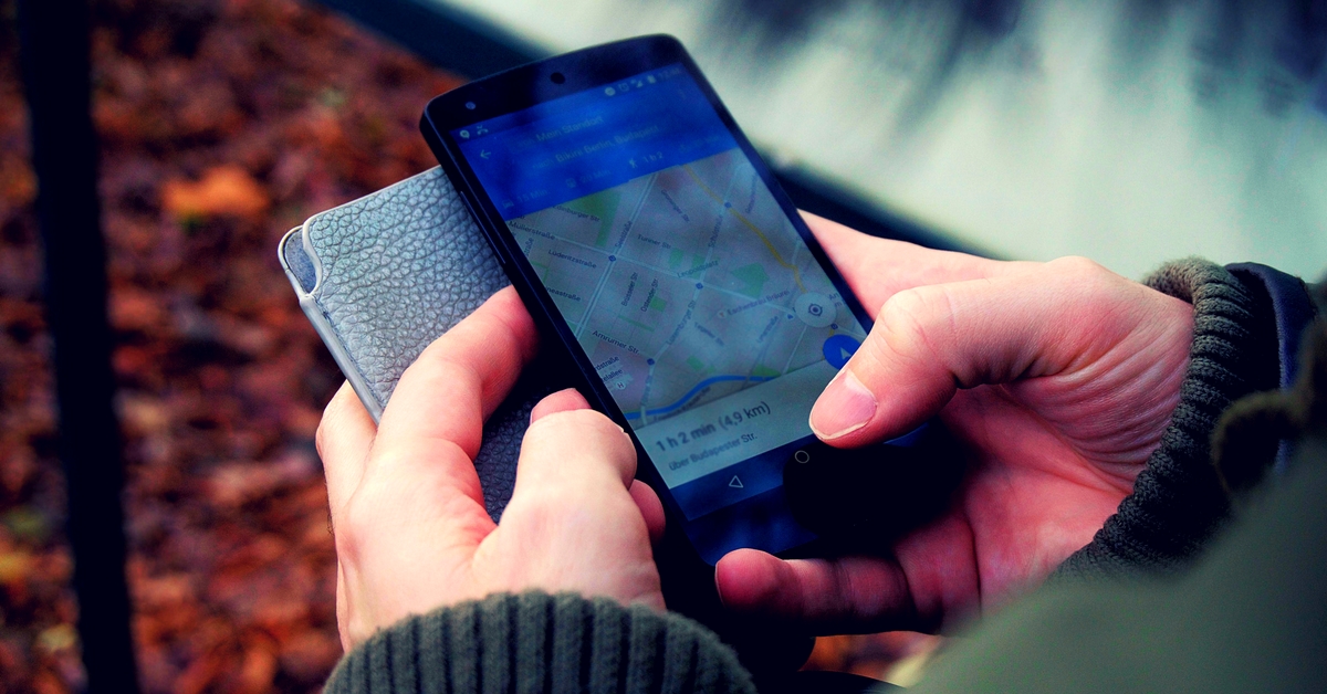
We’ve all landed in strange places and thanked Google Maps for leading us safely back home. Most of us can’t imagine life without one, especially in India! But we’re highly dependent on the US GPS (Global Positioning System) system, and it may not always meet our expectations of accuracy.
To change this, India will soon launch its very own GPS system, the Navigation with Indian Constellation (NavIC), and it will be free of the US clock system. It is set to hit the market for public use in early 2018.
The Indian Space Research Organisation (ISRO) successfully launched IRNSS-1G, the last satellite to its constellation of seven satellites needed in space, to complete its Indian Regional Navigation Satellite System+ (IRNSS) on April 28, 2016.
Christened by PM Narendra Modi after the launch of IRNSS-1G, NavIC means ‘sailor’ or ‘navigator’ in Hindi. The system will provide accurate geographic location information to users within the country, reports the Times of India.
Here’s all you need to know about the desi GPS:
1. While the US based GPS with its 24 satellites in a constellation covers the entire world, NavIC with its seven satellites will only cover India, the Indian Ocean and its surroundings. In the west, the system will reach eastern parts of Arabian peninsula and reach some parts of China in the east. In the south, NavIC signals will reach up till Malaysia.
2. Despite the metered down area, the desi GPS is claimed to be more accurate than the American system. While GPS provides the users a position accuracy of 20-30m, NavIC will provide them with standard positioning service with an accuracy of 5m. Because, the lesser the distance, the more the accuracy of the navigation device in finding the real location.
3. The overall cost of the indigenous navigation system for ISRO sums up to ₹1,420 crore.
4. The navigation system will aid terrestrial, aerial and marine navigation. It will also help vehicle tracking and fleet management in addition to disaster management, mapping, geodetic data capture and visual and voice navigation for drivers.
5. The service can also be integrated with mobile phones and used as a navigation tool for hikers and travellers.
6. The restricted service will also be put to use in the military for missile delivery, navigation and tracking of aircraft. The Indian Air Force has already set up receivers to use the system.
Read more: ISRO Launches the World’s Smallest Spacecraft That Can Fit in Your Hand & Reach the Stars!
Purpose and History
For the longest time, India, like many other developing countries, had been dependent on GPS developed in the US in 1973. But the need for its independent navigation system traces back to the Kargil War, when the US denied GPS information to the country when it was in urgent need of one.
NavIC will help India join the club of nations with their independent positioning systems. While Russia has its GLONASS, the European Union has its own Galileo. Our neighbour China’s Beidou Navigation Satellite System is also underway.
NavIC vs GPS – A scientific view
Shedding light on the scientific reasons for NavIC’s superiority over GPS, Tapan Misra, director of Ahmedabad-based Space Application Centre (SAC), said, “Our system has dual frequency (S and L bands). GPS is dependent only on L band. When low frequency signal travels through atmosphere, its velocity changes due to atmospheric disturbances. US banks on atmospheric model to assess frequency error and it has to update this model from time to time to assess the exact error. In India’s case, we measure the difference in delay of dual frequency (S and L bands) and can assess the actual delay. Therefore NavIC is not dependent on any model to find the frequency error and is more accurate than GPS.”
Tapan feels the major challenge after the desi navigation system hits the GPS-dominated market, will be its promotion and popularisation.
“Academic institutions have been roped in to do ground verification and calibrate data of NavIC to find its accuracy. We have developed digital chips to miniaturise technology (for use in mobiles and handsets) and experiments are on them. The system is being tested all across the country,” he told the publication.
Like this story? Or have something to share?
Write to us: [email protected]
Connect with us on Facebook and Twitter.
NEW: Click here to get positive news on WhatsApp!
.
If you found our stories insightful, informative, or even just enjoyable, we invite you to consider making a voluntary payment to support the work we do at The Better India. Your contribution helps us continue producing quality content that educates, inspires, and drives positive change.
Choose one of the payment options below for your contribution-
By paying for the stories you value, you directly contribute to sustaining our efforts focused on making a difference in the world. Together, let’s ensure that impactful stories continue to be told and shared, enriching lives and communities alike.
Thank you for your support. Here are some frequently asked questions you might find helpful to know why you are contributing?


This story made me
-
 97
97 -
 121
121 -
 89
89 -
 167
167


